-
-
-
Focused on the Future, Built on Tradition,
Committed to Excellence... Since 1901
Focused on the Future, Built on Tradition,
Committed to Excellence... Since 1901
Taylor Wiseman & Taylor (TWT) provided a variety of engineering design and survey services for this high profile, accelerated design and construction project through a Task Order Agreement with the NJ Department of Transportation (NJDOT). TWT was responsible for: (1) Survey and mapping, including: a) establish primary control network; b) set targets for low-altitude aerial mapping; c) field edit and refine CADD base mapping and prepared initially by photogrammetry company; d) re-establish existing baseline and right-of-way; (2) Maintenance and Protection of Traffic (MPT), including designs for traffic control, construction staging, detours, and temporary guide rail improvements; (3) Permanent signing and striping, including designs for traffic striping and signing and breakaway sign supports; (4) Construction schedule development; (5) Community relations, including securing approvals for detours for ramp closures; (6) Website support, including preparing plan exhibits, detour maps, and written descriptions of staged-construction work for NJDOT’s project specific website throughout construction; and, (7) Construction engineering services, including responding to construction questions related to MPT and preparation of as-built signing and striping plans.
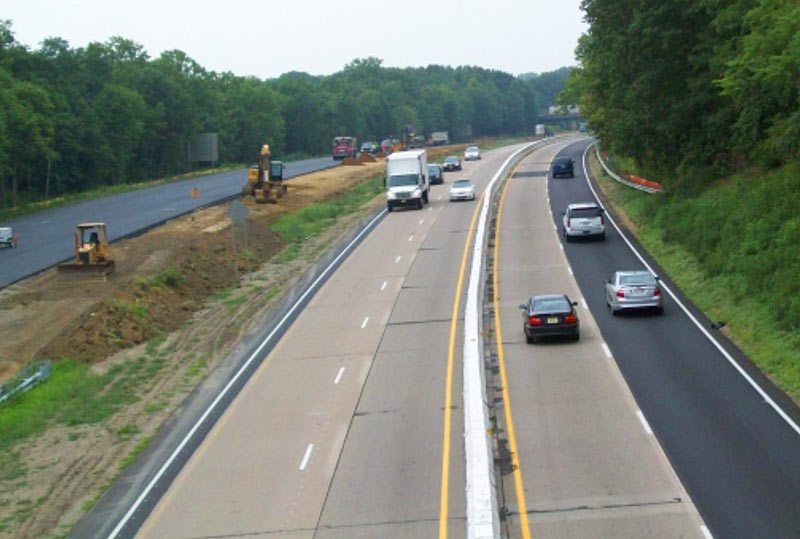
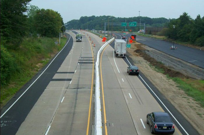
Based in part upon an initial feasibility assessment conducted by TWT, the NJDOT elected to reconstruct the pavement of 12 miles of I-295 on a highly accelerated basis by limiting traffic to two travel lanes in each direction, shifting all four lanes to one bound of the existing roadway separated by a moveable construction barrier, reconstructing the vacant pavement on a 24-hour/7-day a week basis, and then repeating the operation for the other bound – all completed over the three summer months of 2010. The traffic control incorporated multiple cross-over roadways (diversions) for both mainline (north and south ends) and temporary ramps for the intermediate interchanges along the alignment. TWT, through a separate Survey/Mapping Statewide Task Order Agreement, also developed the high-quality base mapping, including digital terrain model (dtm), used for design via low altitude aerial photogrammetry. The funding for the project was shared, with Federal funds supporting NJDOT in-house design and State funds being utilized for Task Orders and construction.
TWT was an essential component of the extensive Community Involvement process conducted for the project due to the temporary traffic impacts. TWT analyzed numerous alternative route and detour scenarios, either anticipated or required by the construction. The full-depth reconstruction of the existing deteriorated concrete pavement, utilizing an in-situ “rubblization”-bituminous overlay process, was successfully completed within the specified construction period.