The scope of work for this project included the following:
Topographic Survey of approximately 28 acres of uplands and 5 acres of marsh land
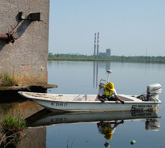
Bathymetric Survey of nearly 1000 linear feet of the Cape Fear River shoreline. Cross-sections were carried from the top of bank to the deepest point of the river channel.
Establishment of survey control points throughout the project area that were tied to the NC State Plane Coordinate System
Records research & GIS-grade property mapping of the subject property and adjoiners
Monitoring Well Locations
Wetlands mapping
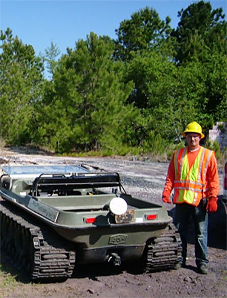
TWT field personnel were all OSHA 40-hour HAZWOPER
Work was performed in accordance with Loss Prevention System (LPS) awareness training. Daily tailgate safety meetings were performed.
Submittal of AutoCAD drawings
About Us
Taylor Wiseman & Taylor 804 East Gate Drive, Ste 100 Mt. Laurel, NJ 08054 856.235.7200