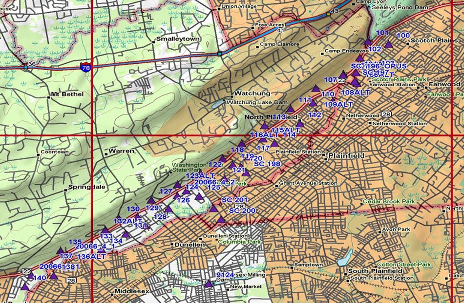
Route 22 Transit Enhancement
TWT assisted the NJ Department of Transportation in the establishment of horizontal control coordinates for 41 photo-identifiable points for photogrammetric mapping to be performed by BAE Systems ADR (BAE). Locations of photo-identifiable points were per direction provided by BAE and the Bureau of Geodetic Survey (BGS) for the Route 22 Transit Enhancement project. The project…
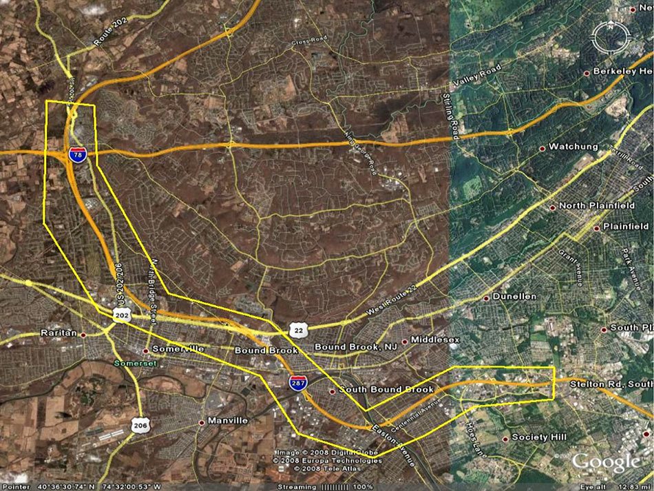
Route 287 Mapping Project
TWT established a horizontal (NAD 83 – NSRS 2007) and vertical (NAVD 88), geodetic control network by GPS fast static, RTK and RTN (VRS) methods utilizing NGS high-order control points identified by NJDOT-Geodetic Survey located near the project area, for the purpose of low altitude aerial photography targeting within the project limits. This work was…