-
-
-
Focused on the Future, Built on Tradition,
Committed to Excellence... Since 1901
Focused on the Future, Built on Tradition,
Committed to Excellence... Since 1901
TWT assisted the NJ Department of Transportation in the establishment of horizontal control coordinates for 41 photo-identifiable points for photogrammetric mapping to be performed by BAE Systems ADR (BAE). Locations of photo-identifiable points were per direction provided by BAE and the Bureau of Geodetic Survey (BGS) for the Route 22 Transit Enhancement project. The project…
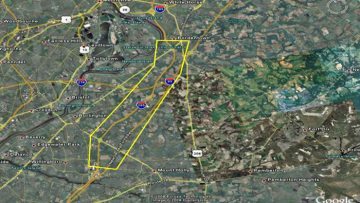
TWT established a horizontal (NAD 83-NSRS 2007) and vertical (NAVD 88), geodetic control network by GPS fast static, methods referenced to NGS high-order control points located near the project area identified by the NJ Geodetic Control Survey, for the purpose of low altitude aerial photography targeting within the project limits, as part of the previous…